The Veluwemeer Aqueduct: Netherland’s Unique Water Bridge

Forget tunnels, bridges, or drawbridges, aqueducts over roads is the way to go.
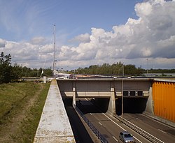
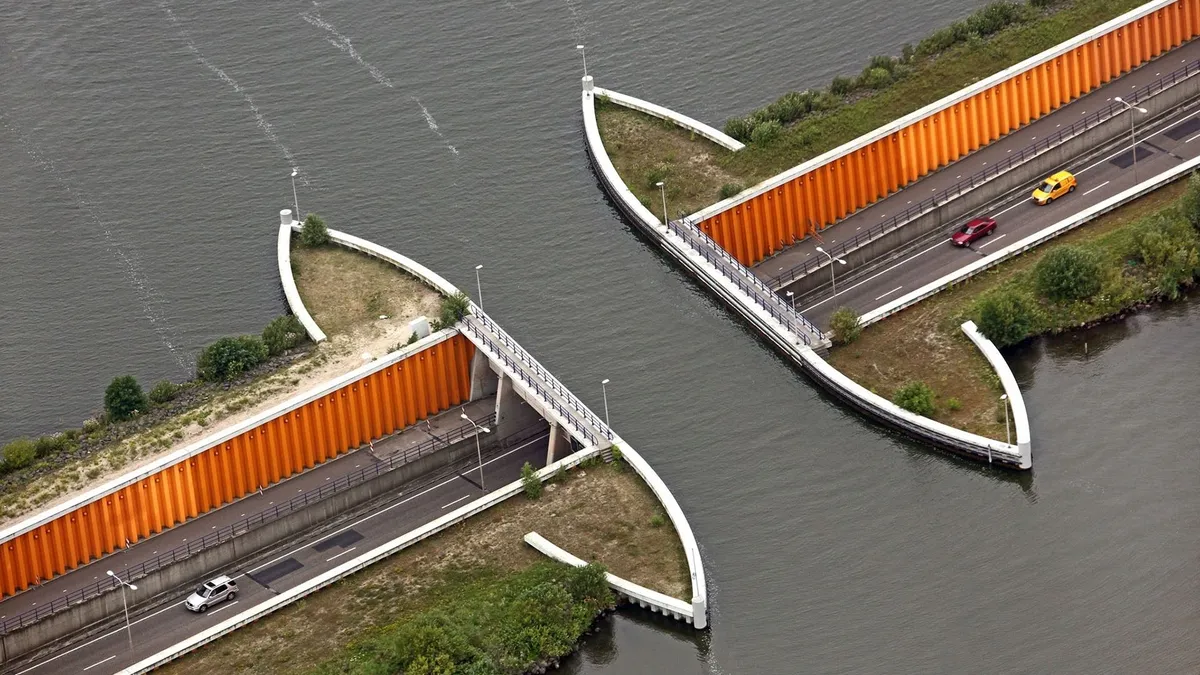
Opened in 2002, the Veluwemeer Aqueduct is a stunning work of architecture and engineering. Unlike other solutions for allowing vehicular traffic and waterborne traffic to pass over or under one another, engineers decided on a different approach: a water bridge.
Located over the N302 road, the aqueduct forms part of a lake of the same name. The road itself is interesting in and of itself, connecting mainland Netherlands to Flevoland — the largest artificial island in the world.
Flevoland was constructed from reclaimed land in the region and is surrounded by three man-made lakes. This island is actually made up of two drained sections, Flevopolder and Noordoostpolder, which come together to make up the 374.5 square miles (970 square kilometers) province of Flevoland.
During the design of the unique bridge structure, engineers chose to construct the waterway over the N302 road, where around 28,000 vehicles pass each day.

It is located near the Dutch city of Harderwijk. It connects the mainland with the neighbouring island called Flevoland, the largest artificial island in the world. Opened in 2002, the Veluwemeer Aqueduct allows vehicular traffic as well as waterborne traffic to pass the stretch without hindering the other.3 h
Veluwemeer Aqueduct is a 25-metre (82 ft) long navigable aqueduct (also known as the water bridge) located over Veluwemeer lake in Harderwijk, Netherlands. It was opened in 2002 and bypasses the N302 road.
Where the aqueduct crosses the N302, the depth of water is three metres (9.83 feet), which allows vessels to pass over the road safely, so long as their draft is less. There are also pedestrian crossings on both sides of the waterway.[1]
The construction of the aqueduct took some 22,000 cubic metres of concrete, plus steel sheet piling to bear the heavy weight of the water over the road and to prevent water and sediment from leaking onto the road below. [1]
How does the Veluwemeer Aqueduct water bridge work?
The Veluwemeer Aqueduct is a shallow 9.83 feet (3 m) deep water bridge that allows for small boats and other shallow-draft water vehicles to pass over the road safely and easily.
In addition to allowing boats passage over the road, pedestrian walkways can be found on both sides, allowing for foot traffic to also cross. The road itself also includes designated cycle lanes.
Unlike drawbridges or other roadway structures, the water bridge design allows for constant traffic flow both on the road and over the aqueduct.
For most of the span of the N302 road across the lake, the road is raised above the waterline by a stretch of artificial embankments, but for the short, 55.7 feet (17 m) span on the aqueduct, the road plunges, briefly, underneath the lake’s surface.
Interestingly, around 1,3212 feet (400 m) NW of the aqueduct, the N302 crosses the lake once again on a more traditional bridge structure.
Veluwemeer Lake (ps. “meer” is actually Dutch for lake) is one of fourteen ‘bordering lakes’ in the area, all of which are really just a very long continuous body of water, that was created by not completely connecting Flevoland and the Northeast Polder to the mainland of Netherlands.
Source; Wikipedia & Interestingengineering.com
